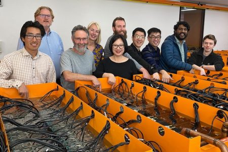
A better view of our planet
Earth observation from satellites, aircraft, and ground-based monitoring stations can provide a unique and timely source of data that can be shared around the world.
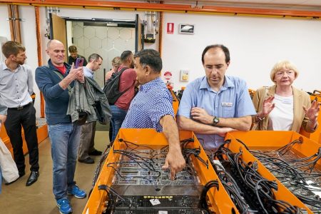
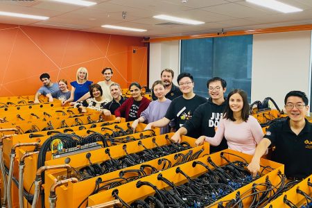
Advances in data processing algorithms have enabled the use of satellite data at scale, supporting high-resolution positioning information required for mapping, construction, precision agriculture and Earth sciences.
Efficient crop management
Using satellite data and the processing power of supercomputers, organisations can monitor and manage the growth of crops, and even train artificial intelligence (AI) models to generate recommendations to boost yields.
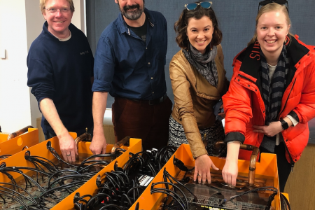
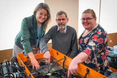
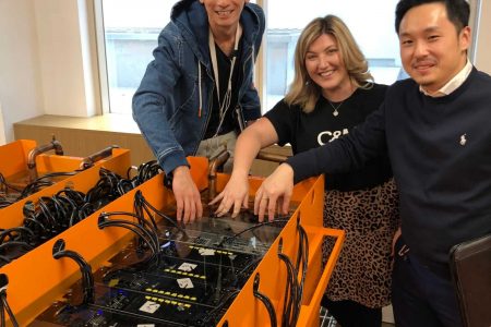
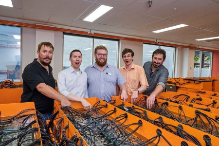
We’ve partnered with Australian smart-satellite provider LatConnect 60, supporting its high-resolution Earth observation analytics services with our HPC.
Characterising unexplored parts of the Earth
Harnessing large satellite datasets, researchers are mapping and monitoring inaccessible regions of the world, such as the Arctic permafrost.
Permafrost—ground that has been permanently frozen for more than two years—is crucial for the Earth’s climate, trapping large amounts of methane and carbon dioxide, turning the tundra soil into a carbon sink.
AI-based models, coupled with powerful supercomputers, are accelerating the analysis of a wealth of satellite data, helping researchers decipher the permafrost’s innate characteristics and its effects on climate.