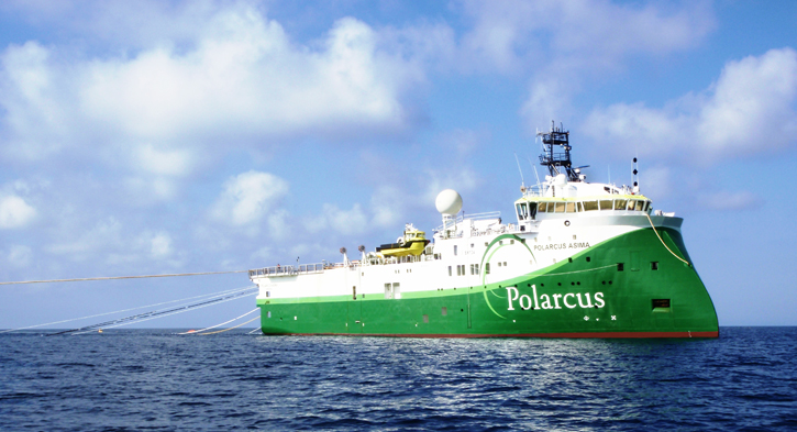
DownUnder GeoSolutions (DUG) and Polarcus have embarked on one of the world’s largest seismic surveys designed to evaluate a potential new oil-producing province off the coast of Western Australia. The Polarcus Capreolus Multi-Client 3D survey will cover a total area of 22,130 square kilometres across the Roebuck Basin.
This newly-acquired seismic data will supplement 4,300 square kilometres of existing seismic data, which is being reprocessed to create a seamless, huge, multi-client offering of over 26,430 square kilometres. This area of the Roebuck Basin includes Apache Corporation’s recent Phoenix South-1 oil discovery. The Basin is one of the least explored offshore regions in the North West Shelf but potentially one of the most exciting, especially as initial results from the Phoenix South 1 well indicate this to be a significant new oil province for Australia. Carnarvon Petroleum, Finder Exploration and JX Nippon are also involved in the Phoenix project, which lies nearly 200 kilometres north of Port Hedland, between the prolific Carnarvon and Browse Basins.
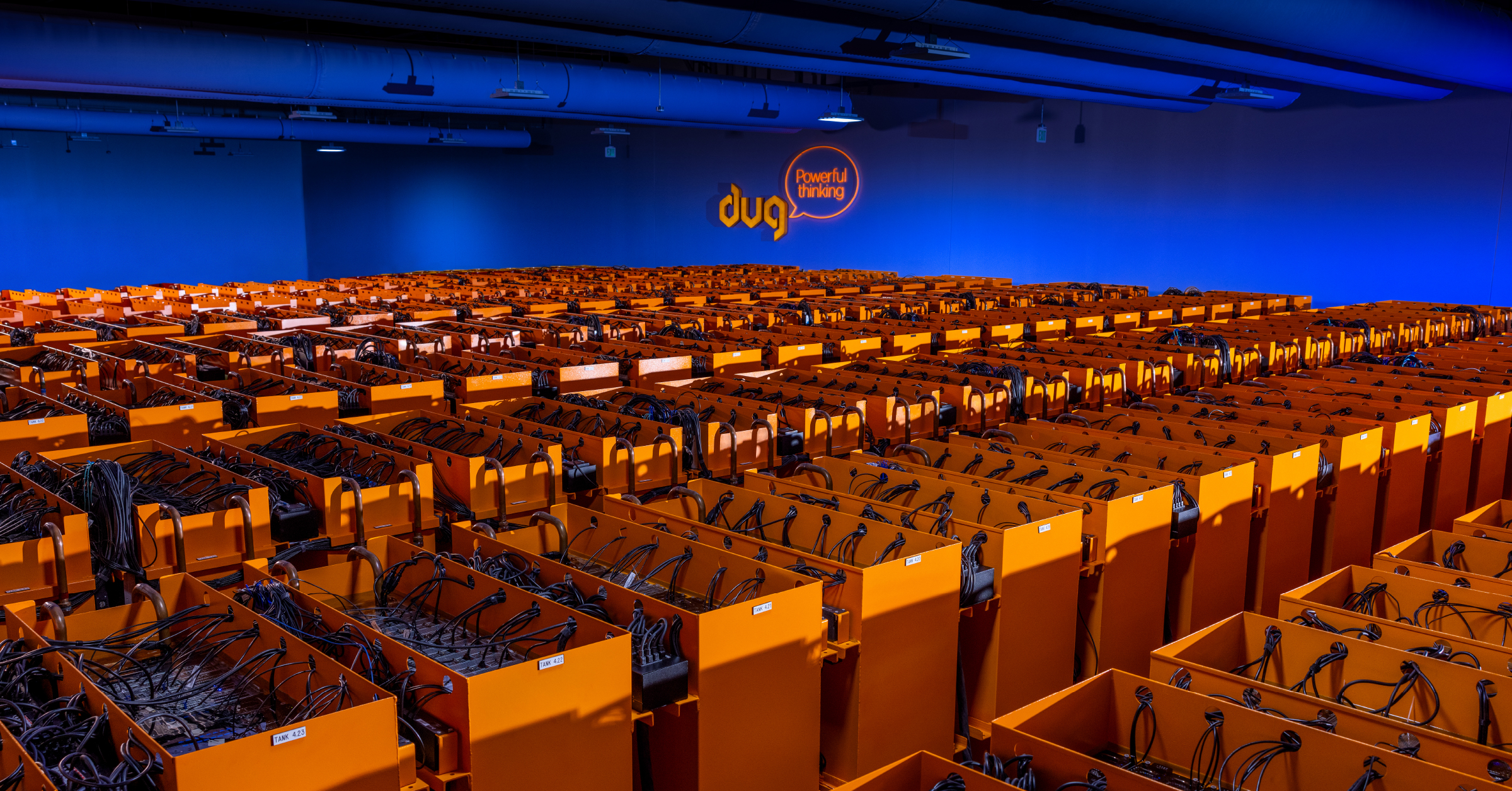
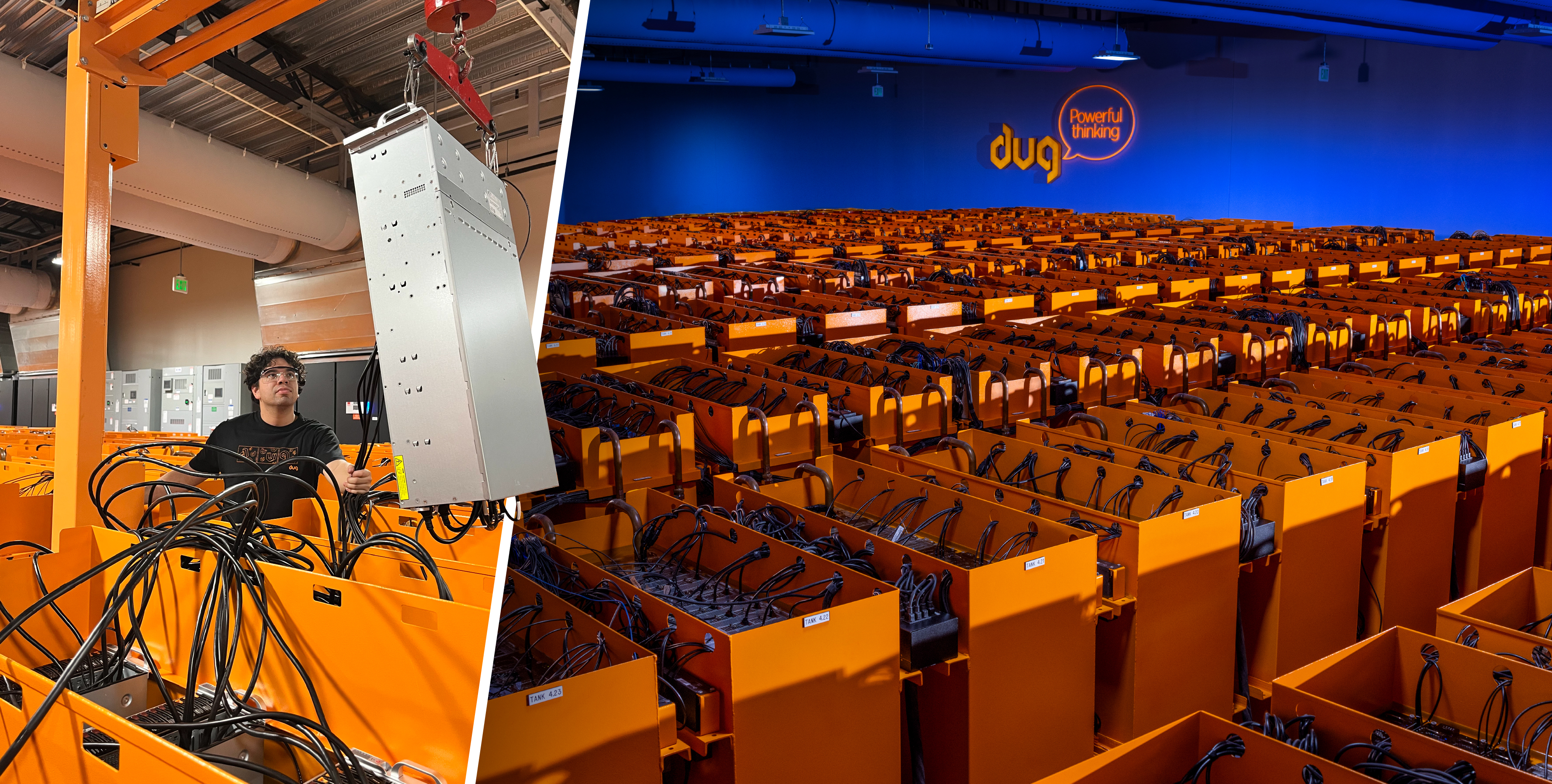
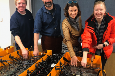
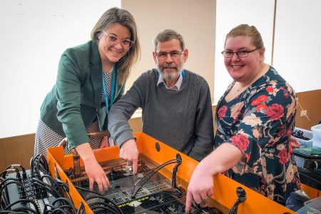
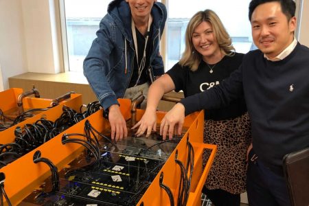
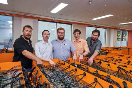
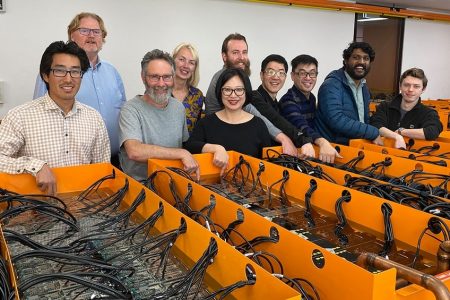
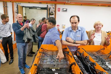
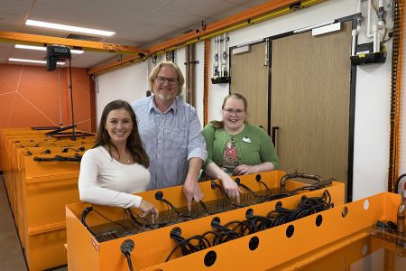
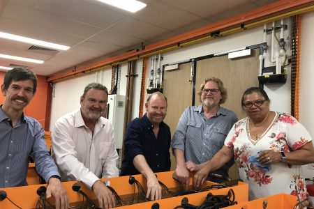
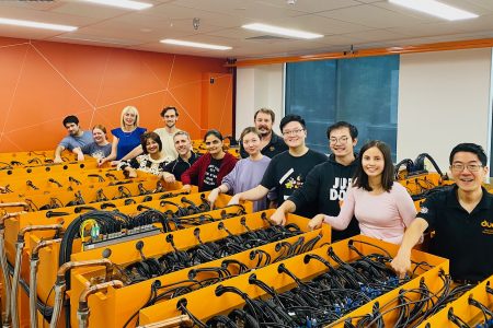
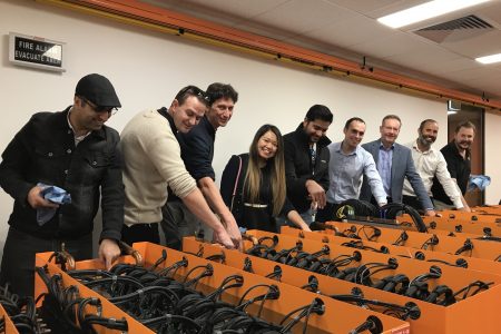
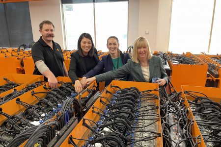
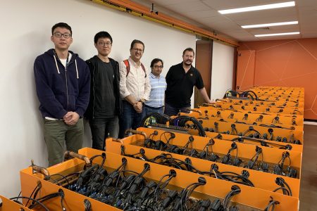
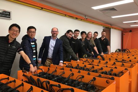
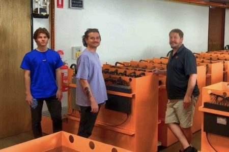
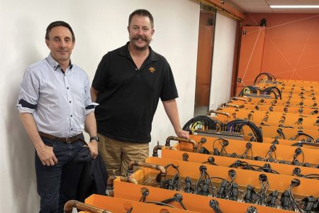
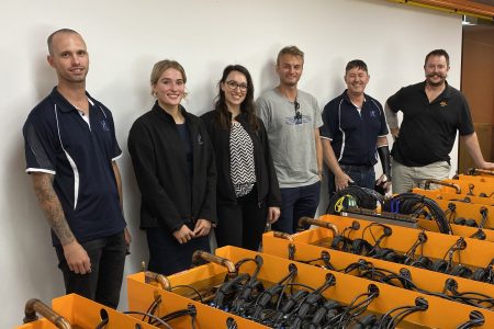
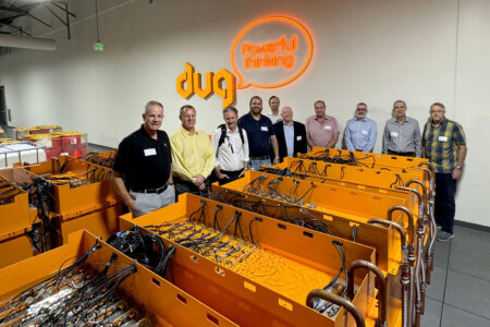
The data is currently being acquired with two Polarcus A-Class 3D seismic vessels utilizing the company’s RightBAND™ technique for broadband data acquisition. The processing and imaging will be conducted by DUG using the power of its Perth supercomputer, known as “Bruce”.
A single copy of the newly-acquired field data will be around 500 terabytes in size. The DUG team of geophysicists is processing and imaging the data as it is acquired. Fast track volumes are available throughout the acquisition with final data delivery of a depth migrated product (TTI PreSDM), in early 2016. By utilising Bruce’s supercomputing power, the time taken to process such a large dataset is significantly reduced.
DUG Managing Director, Matt Lamont, said the combination of Polarcus’ proficiency in survey design and acquisition and DUG’s processing and imaging expertise make for a strong technical team.
“The DUG team is processing this very large dataset, through a complex workflow, in record time. This is made possible by our team of industry-leading geophysicists, proprietary software and the power of Bruce, our supercomputer” Dr Lamont said.
“We’re excited to, once again, be involved in a world-renowned project which has the potential to unlock huge hydrocarbon reserves off the coast of Western Australia.”
Polarcus Chief Executive Officer, Rod Starr, said the global marine geophysical company was pleased to be part of a project which pioneered innovation in oil and gas technology.
“The partnership between Polarcus and DUG is enabling us to provide the industry with a very unique solution that seamlessly integrates and accelerates every step of the seismic data acquisition and processing workflow,” Mr Starr said.
“The resultant data will enable E&P Companies to make well informed decisions about potential investment opportunities in this exciting new basin offshore Western Australia, given its importance in global oil and gas production.”
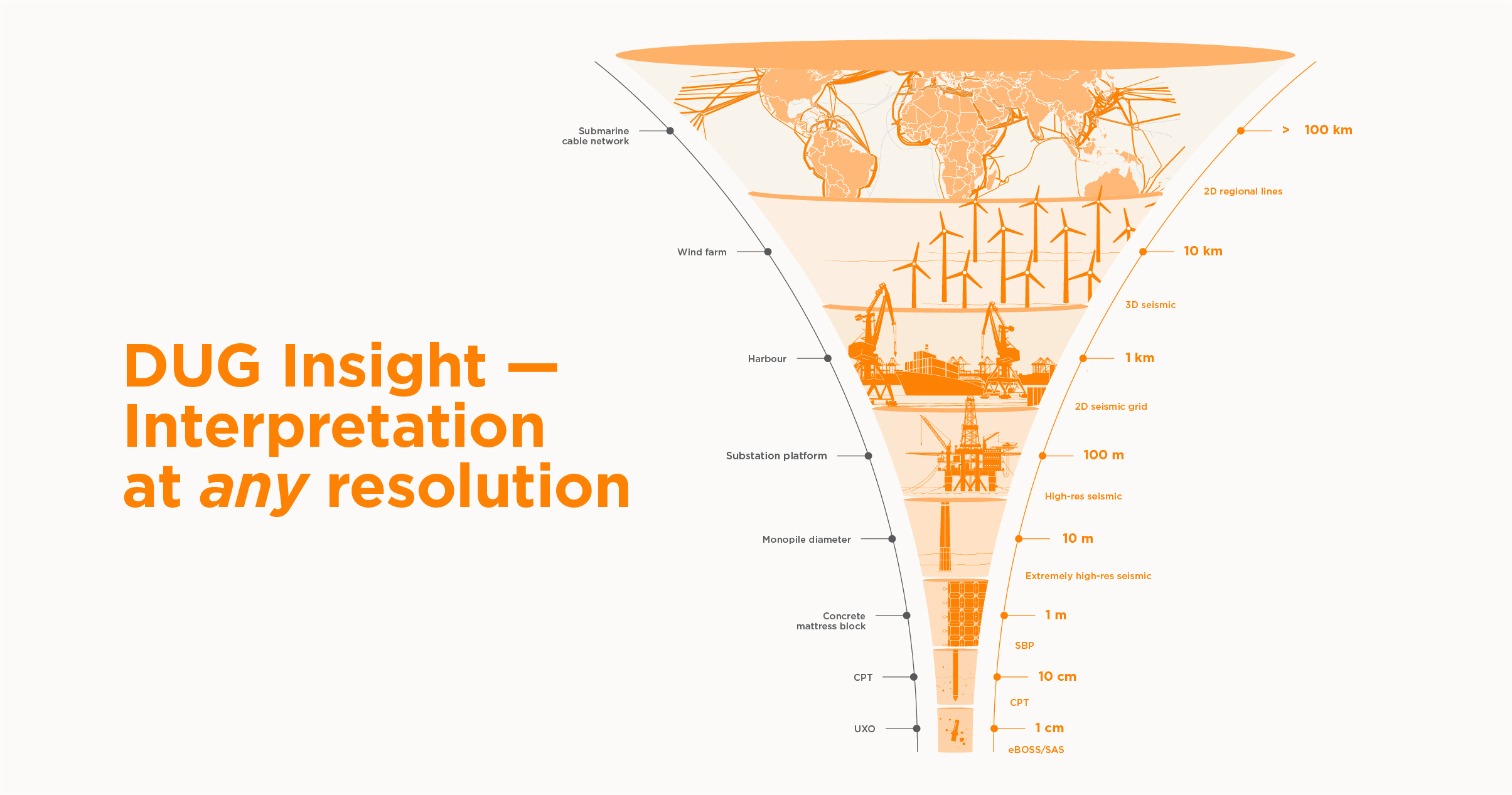
The hardware employed on board the Polarcus vessels was custom developed by SGI specifically for DUG and is powered by Intel® Xeon® processors and Intel® Xeon Phi™ coprocessors. DUG’s proprietary software, DUG Insight, enables the onboard team to provide intuitive quality control of the data as it’s acquired. The data is then sent to DUG’s Perth-based supercomputer and team of specialised geophysicists for more complex processing and imaging analysis onshore.
Western Australia is expected to be one of the largest oil and gas producing regions in the world when projects currently under development move into production.


