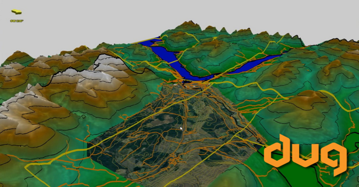
Build a stunning digital elevation model with DUG Insight‘s 3D view upgrade!
Drape any image directly over structure! Boost your planning by utilising all your resources, add aerial photography, political boundaries and even detailed contours directly in the 3D Viewer.
Watch this 3-minute video for the tips & tricks you need.
Copyright: Google Earth, and the Scottish and UK governments for providing the images and shape files shown in this video.
https://boundaries.scot/boundary-maps/data-files
https://data.gov.uk/dataset/65bf62c8-eae0-4475-9c16-a2e81afcbdb0/os-open-roads